FEMA stuck in 2006 ?
Why are our politicians, representatives, and officials sitting on their behinds and simply NOT pushing hard for FEMA map updates when everyone knows Warren and other cities were hit extremely, severely, catastrophically with a Flood in 2014 ?
Flooding via wet basements counts as a flood ! Just because it did not flow into the house via a window at ground level, does not mean a house did not suffer flood damage.
The FEMA site still has 2006 maps for Warren , Michigan, USA
Yes, there are some minor updates, but the maps still show 2006 predominately.
https://msc.fema.gov/portal/search?AddressQuery=

SEE for yourself, pull it up on your own screen, in late 2017, going on 2018+
Are our government officials really putting on blinders, locking themselves away from reality, refusing to face the strong ugly facts that it will happen again, soon ??????


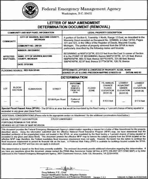
Red Run Drain site at RYAN ROAD BRIDGE (south of 14 mile Road)
FEMA panels still say 2006, while many homes in the area had severe flooding


Trackbacks & Pingbacks